stage 7
Rifugio Dal Piaz – Feltre
- 7:00
ESTIMATED TIME - 17,3km
DISTANCE - 100mt
TOTAL CLIMB - 1750mt
TOTAL DESCENT
utility numbers
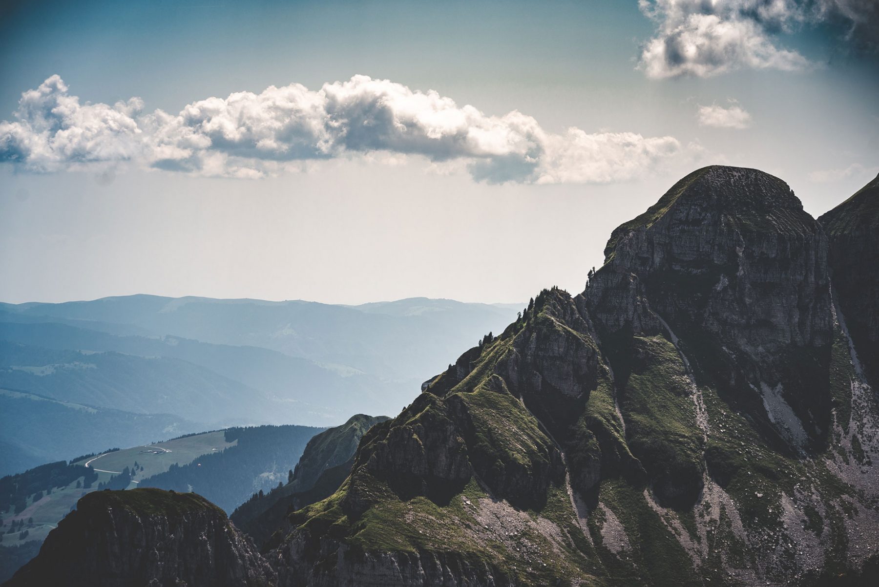
Rifugio Dal Piaz+ 0439 9065+ 329 3647428Pedavena Brewery+39 0439 304402 Emergency number112During the entire descent back to ‘civilisation’ after six days at altitude, you will be in sight of the breathtaking vallata Feltrina. Some sections of the trail follow the ancient Roman road, Via Claudia Augusta.
As you approach the first built-up areas, you’ll see the signs of the old rural world. Until a few decades ago, these slopes were lively places, with many mountain chalets. Some of them show the stepped architecture that was typical for the Germanic peoples that used to live in these places.
It’s worth taking a rest at Paradis, a wide area of pastureland, that’s perfect for enjoying the spectacular view over Monte Magheron and the Vette Feltrine.
To seal the end of the trek, a visit to the historic Birreria Pedavena (in operation since 1896) and enjoy a Dolomiti beer is a must!
Lastly, enjoy a well-deserved rest by strolling through Feltre and its medieval centre. At the heart of the fortified town, you’ll find Piazza Maggiore with its castle, Castello di Alboino. From the castle’s Clock Tower you can admire a spectacular view of the Vette Feltrine where you’ve just been trekking!
The last step is to go to the Tourist Office right there in Piazza Maggiore, in the heart of Feltre, to pick up the pin and the certificate dedicated to the finishers of the route. Finally, come back here on the site and leave a testimony of your passage by signing the digital Summit book!
Technical description
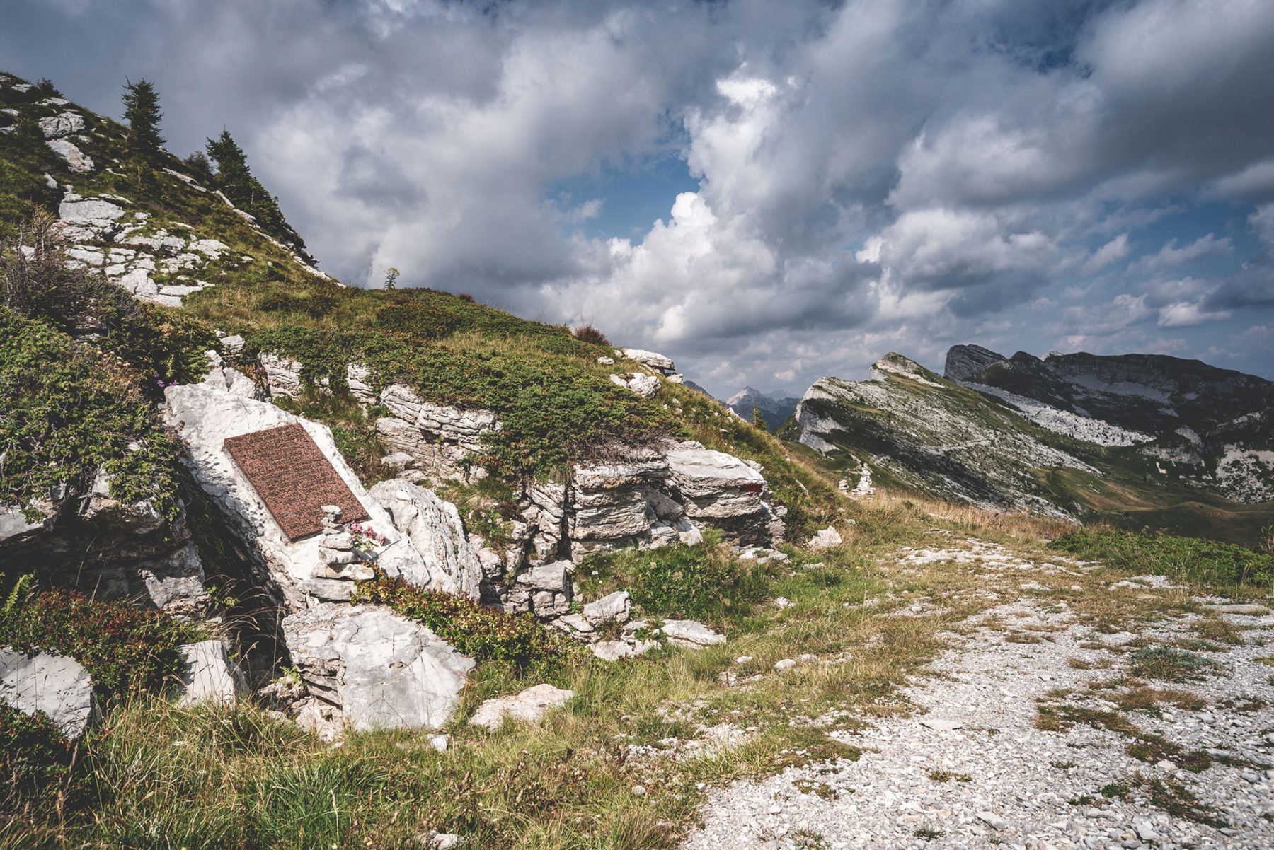
From the Dal Piàz mountain hut, follow the track leading downhill through the meadows. Further along, the track merges with the dirt road that departs from the mountain hut, CAI trail 801.
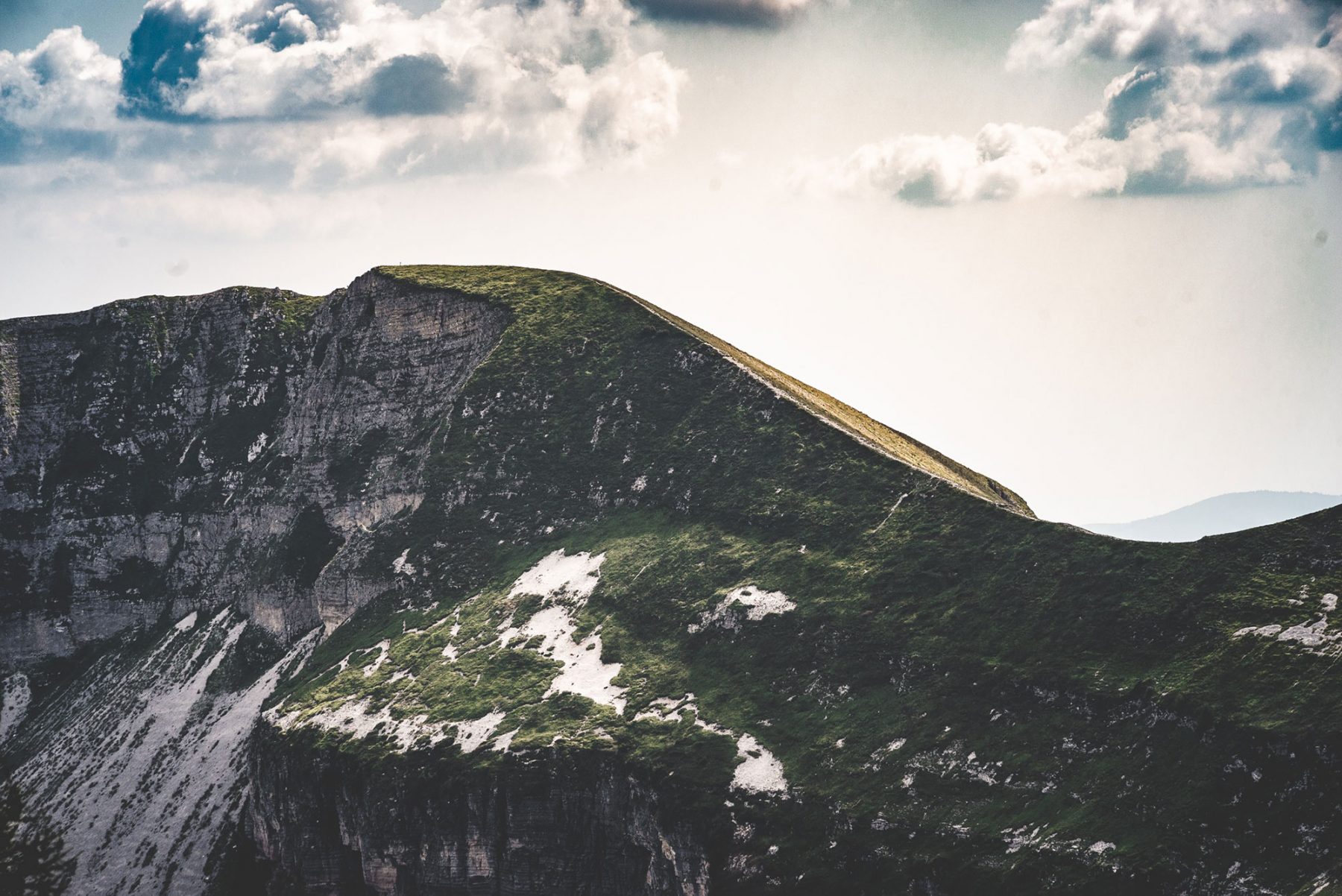
There are many clearly visible shortcuts you can use to avoid following the dirt road the whole way. Especially important, at 1,800 m, is the trail leading downhill on the left. Take it to avoid the long dirt road route towards the north-west. The trail then splits up – the higher section passes along a slightly exposed ridge, while the lower trail is not exposed at all.
At 1634 m, pay particular attention to the signpost as the route leaves the dirt road to the right and leads through a meadow and then into a wooded area.
After about 2 to 2.5 hours, you’ll arrive at the village of Croce d’Aune, where you’ll follow the signs for the Alta Via no.2, which shares the same route. Take the trail that leads to the east across mostly flat ground up to Stalle Norcenadego, where you’ll head south until you reach the meadows of Paradis.
At this point, join the road on the right. It’ll soon become an asphalt road leading to the first built-up areas and then to the village of Norcen. From here, descend to Pedavena following the signposts. To get to Feltre, you can use public transport or the cycle routes leading to the city centre, which are marked on the GPS track.