stage 2
Rifugio Pramperet – Rifugio Bianchet
- 7:00
ESTIMATED TIME - 11km
DISTANCE - 800mt
TOTAL CLIMB - 1400mt
TOTAL DESCENT
utility numbers
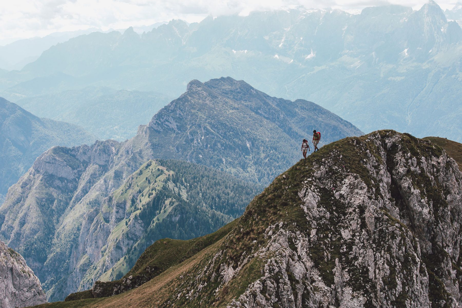
Rifugio Pramperet0437 1956153 Rifugio Pian De Fontana+39 0437 1956135+39 335 6096819Rifugio Furio Bianchet+39 335 6446975+39 0437 669226 Emergency number112This is one of the most rewarding of the Alta Via stages. It reaches 2400 m, the highest altitude in the whole trail, at Forcella de Zità Sud.
You won’t meet many people on this route, only a few people hiking the Alta Via no.1, which shares the same trails. On the other hand, you will probably meet lots of chamois which can be admired at any time of the day on the screes of the Van.
A wonderful place to hike, surrounded by chamois
The Van di Zità are enormous, spectacular deep valleys at altitude. The pinnacles and herds of chamois are your only company here, until you descend to the Pian de Fontana Mountain Hut, where you can eat some dishes excellenlty prepared by the cook and manager, Gavino.
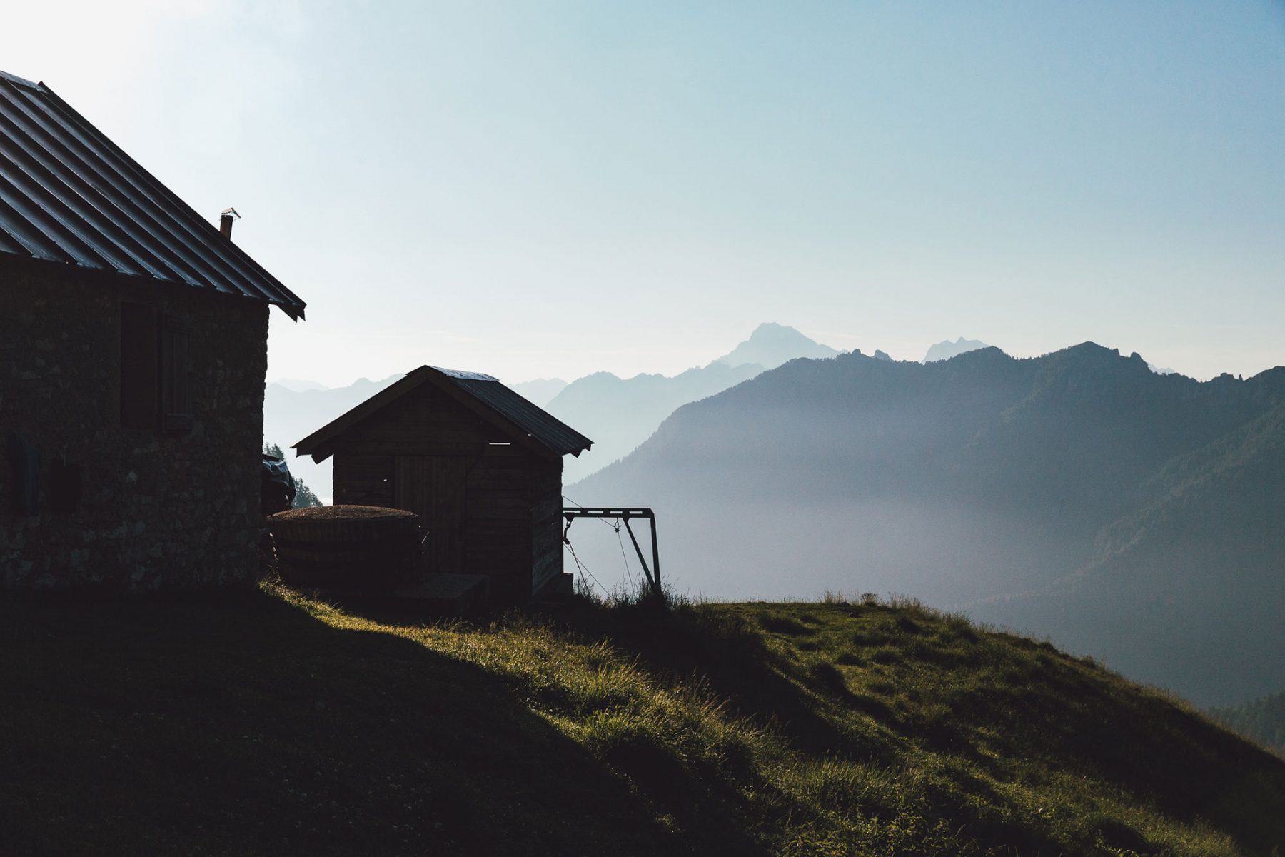
The scenery changes again and you head south towards the Schiara range, which is outlined in front of you with its characteristic pinnacle, la Gusela. After crossing the ancient mountain pasture, you’ll be immersed in the Val Vescovà to then reach the Bianchet Mountain Hut.
The spectacular yellow bloom of the laburnum can be seen in June and will stay with you right up to the mountain hut.
Technical description
As you leave the Sommariva Mountain Hut at Pramperét, take trail 514 as far as Portela del Piazedel (2097 m).
From there, follow the cairns and stay on trail 514 to reach the splendid glacial cirques at Van de Zità. Having passed the Northern (2410 m) and Southern (2395 m) saddles at Van de Zità, keep on the trail numbered 514 until you drop down to the Pian de Fontana Mountain Hut (1,632 m).
Use caution as you descend to Pian de Fontana. The long section that leads to the hut is steep and slightly exposed.
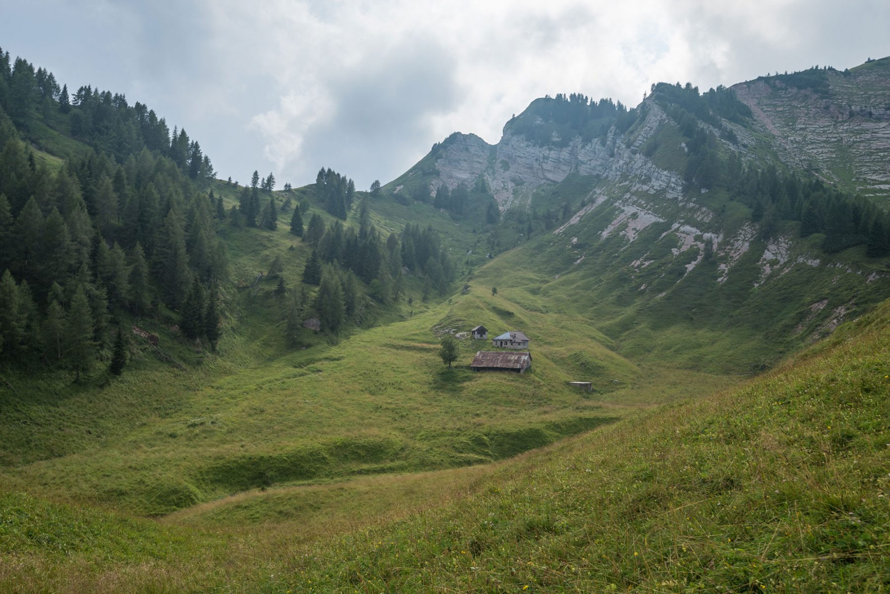
With the Pian di Fontana plateau behind you, drop down towards Val de i Ross. Cross the stream and take the right-hand trail numbered 514 at the crossroads. Continue as far as the saddle at La Varetta (1704 m) where you’ll find the old cheese hut by the same name nearby, which now serves as a bivouac. To the right, on trail 536, you can continue on the Casera La Varetta and Casera Vescovà optional trails.
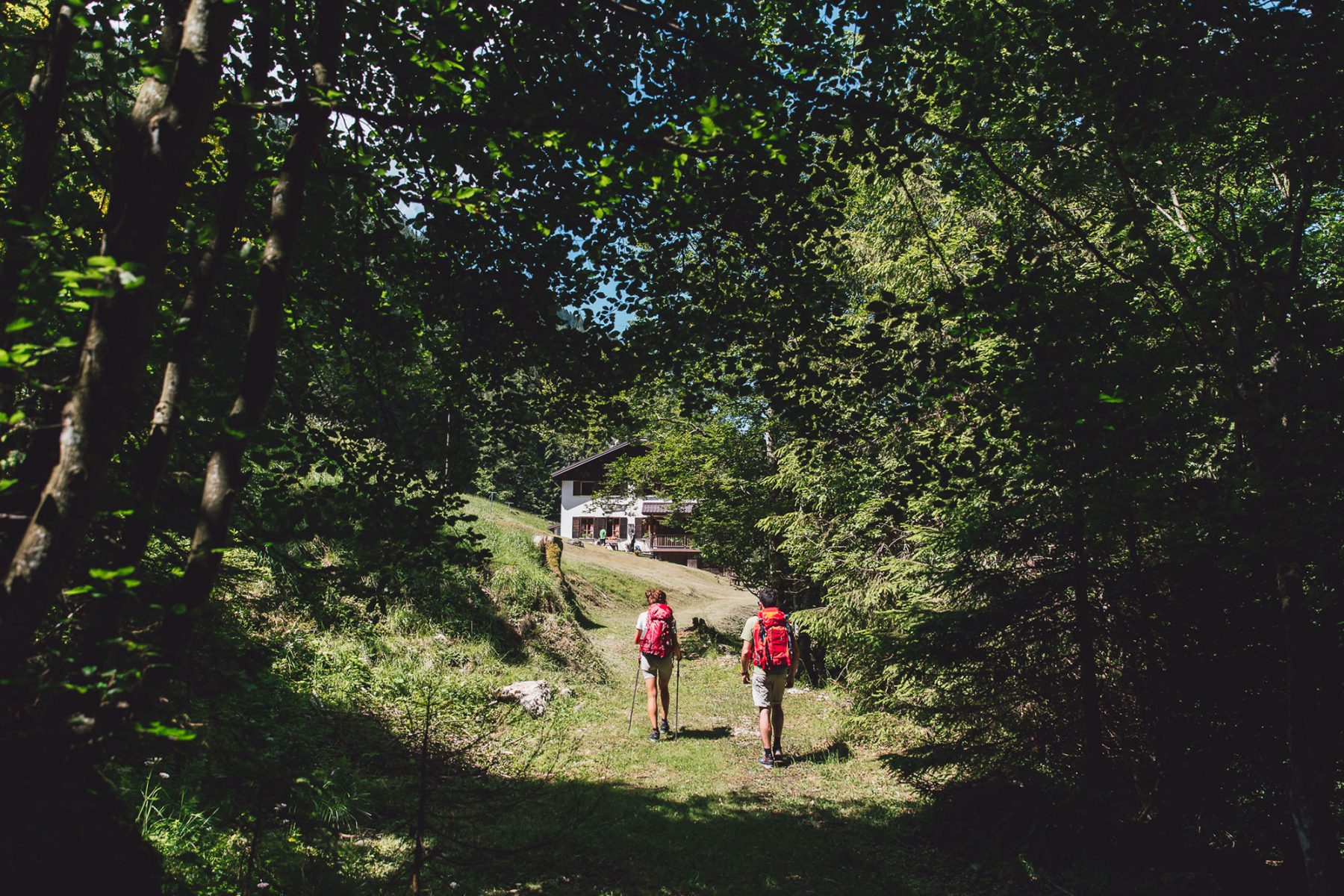
From here, you’ll walk via a gentle slope towards the south-east into Val Vescovà. You’ll come to a crossroads: turn right onto the trail 518, which quickly descends into the woods and leads to the clearing where the Bianchet Mountain Hut is located.
This stage doesn’t pose much of a technical challenge. Although, up until the middle/end of June, there may be snow on the northern slopes of Van de Zità.


