- 7:45
ESTIMATED TIME - 18.5km
DISTANCE - 1720mt
TOTAL CLIMB - 570mt
TOTAL DESCENT
utility numbers
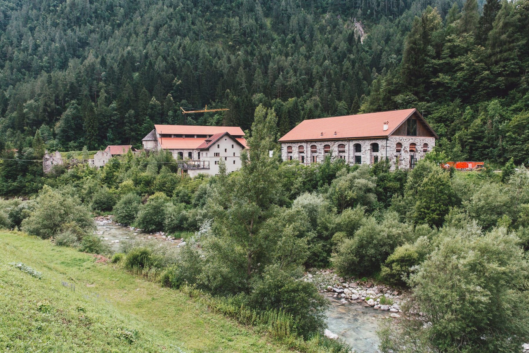
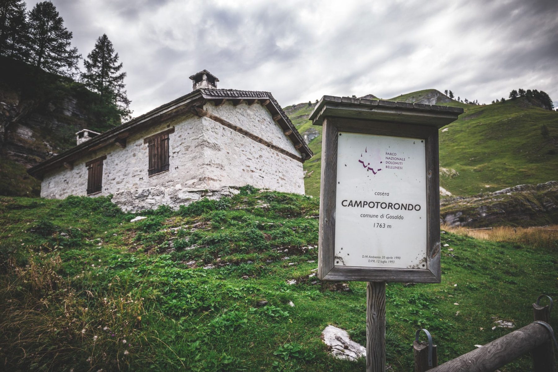
Casera Campotorondo+39 0437 944830Malga Erera+39 3663046930+39 3473012648(texting is recommended due to poor telephone reception)Ostello Valle Imperina+39 0437 482055+39 379 110 4390 Emergency number112A route into the heart of an abandoned mountain, with treasures to discover.
It starts at the Miniere della Valle Imperina, once the hub of copper mining, now a suspended place where stone, wood and rust tell of an industrial era that is now closed.
The path climbs through dense woodland, where the sound of water accompanies the walk. Then the vegetation thins out and we reach Forcella Franche, a narrow gap between the mountains. From here, the view opens onto a more severe, wide and lonely landscape.
The route continues along an old road that tells us of the intense life that the valley had at the time of the mines, a “gold rush” that baptised these places with the toponym of California.
In the 1960s their closure left room for nature, which is taking back the once inhabited hamlets.
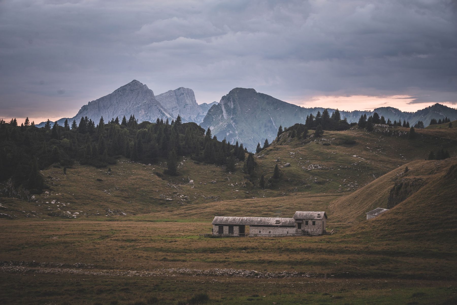
Having left behind the remains of these settlements, we return to altitude to reach the Piani Eterni.
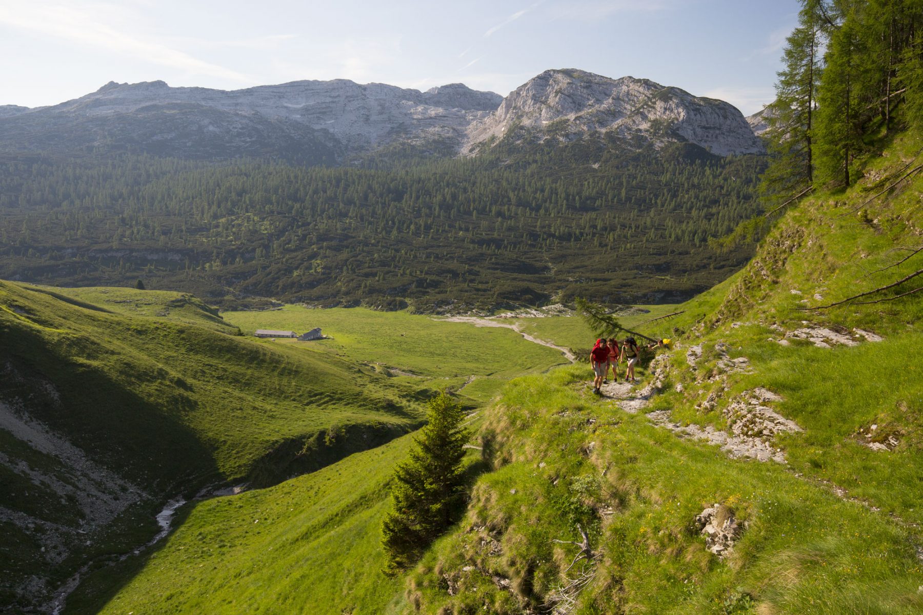
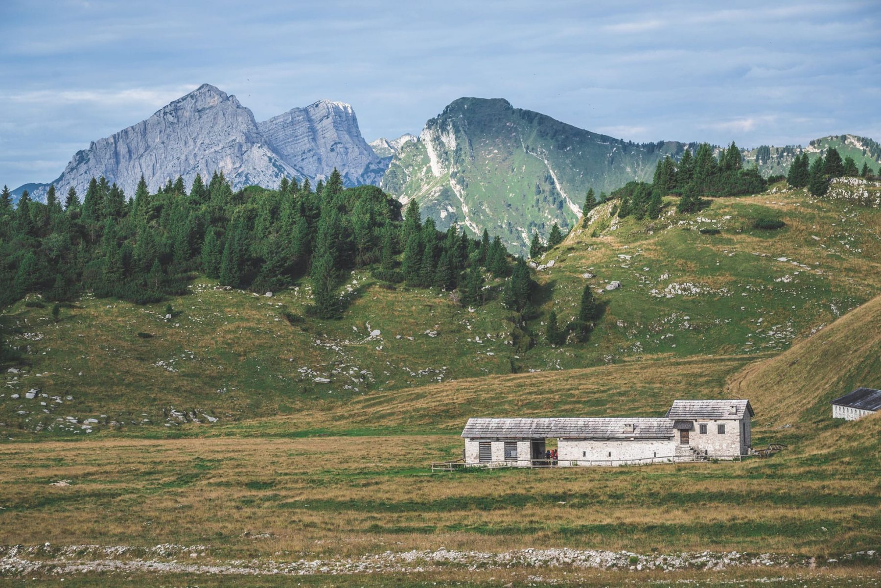
The Piani Eterni, a prairie at an altitude of 1700 metres
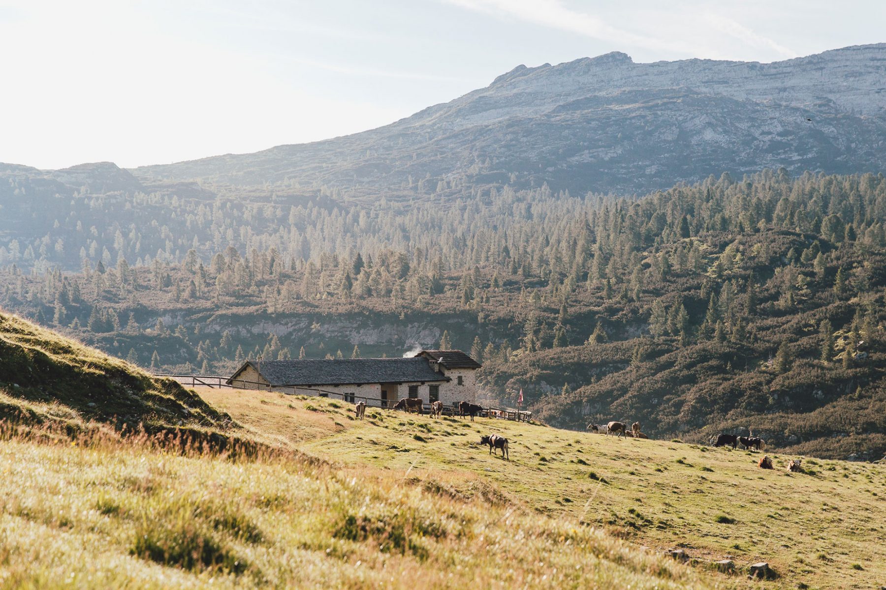
The Piani Eterni are a world apart, a prairie at 1700 metres altitude, where grazing cows and horses mingle with deer, mouflon and chamois descending from the peaks that crown this unique environment.
We leave you with the words of a profound connoisseur of the Belluno Dolomites, Giuliano Dal Mas, who described them as follows in the Amico del Popolo of 4 July 2019
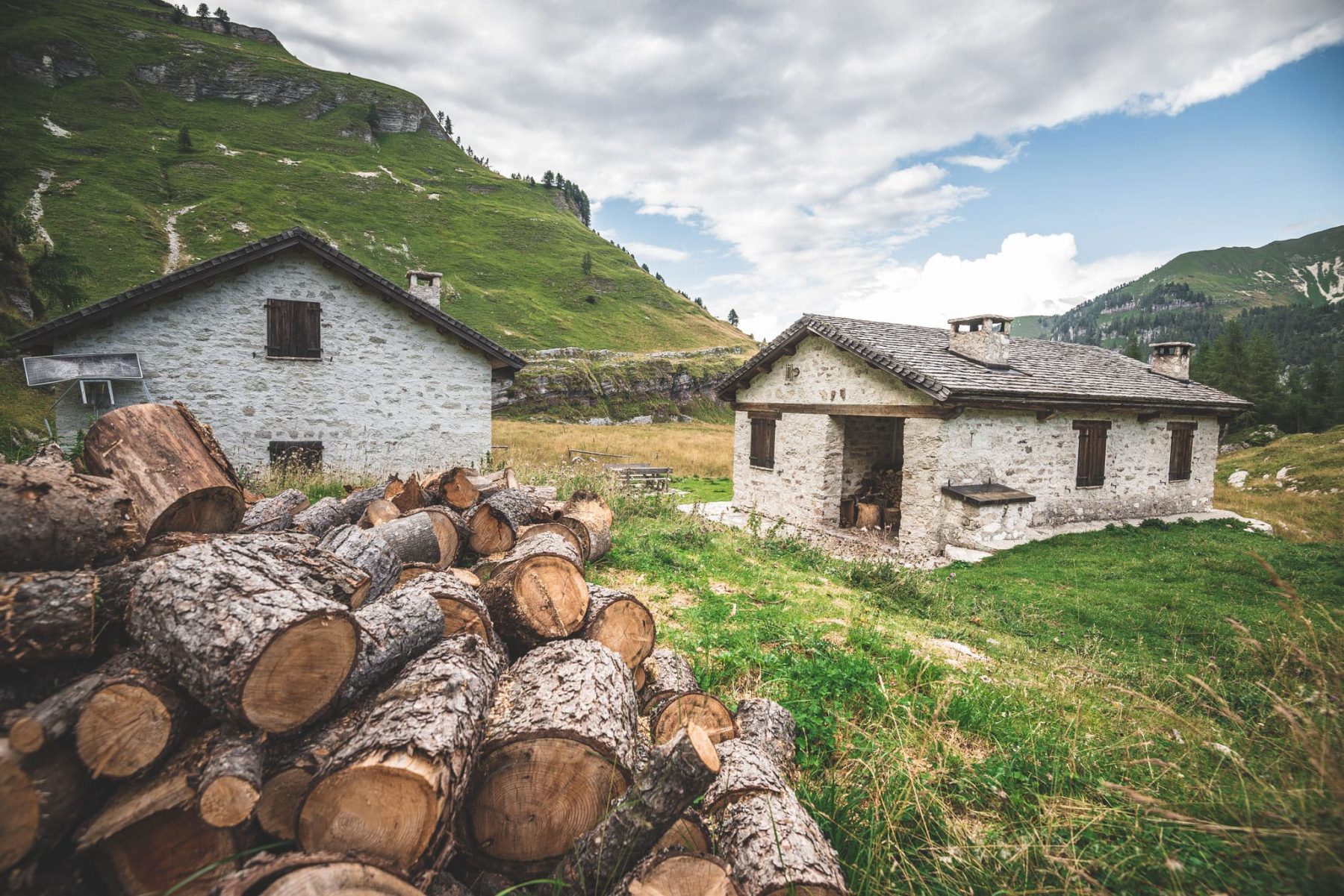
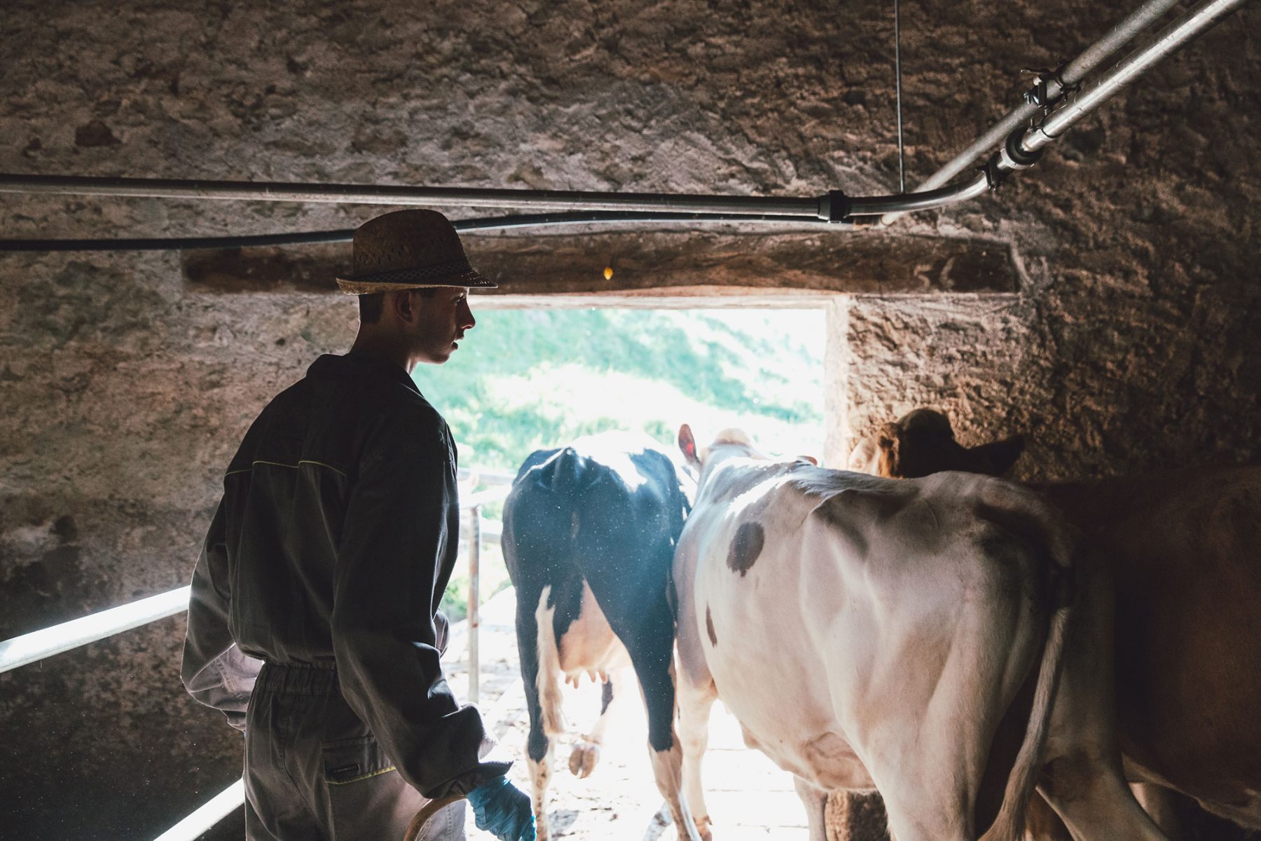
The Piani Eterni are a world apart, a prairie at an altitude of 1700 metres, where grazing cows and horses mingle with the deer, mouflon and chamois that descend from the peaks that crown this unique environment. The Piani Erera-Brendol are certainly among the most evocative and beloved places in the Belluno Dolomites National Park and the municipality of Cesiomaggiore: this is due to the natural characteristics of a plateau at an altitude of just over 1,700 metres, but also to the centuries-old work of man and the presence of livestock in the good season: at the end of the 19th century, over 500 cattle and an unknown number of sheep and pigs grazed in the area. It is a magnificent place to be preserved in all its naturalness, even in its man-made aspects, such as the rustic farmhouses and stables. A place that seems to be suspended above the earth, in contact with the sky, where the green of the plateau slightly sloping towards the south is transformed into the darker green of the dwarf pine, the green of the bush vegetation, the grey, white of the rocks that cover that strange world of the Piani Eterni that borders the Piani Erera.
Technical description
From the Valle Imperina mining complex (610 m.a.s.l.), go up the forest following CAI path no. 543, crossing the Valle di Bordina until you reach Forcella Franche (1833 m.a.s.l.), a grassy pass with wide views. From here, descend along CAI 561 in the direction of Titele, a mountain pasture at an altitude of approximately 1460 m. The path is less frequented and requires attention in some sections. We continue downhill on a mule track to the bridge that crosses the Mis river.
We cross the bridge and continue along the dirt road to the hamlet of Pattine (980 m.a.s.l.) where we begin to follow path no. 802. From here, the climb begins, at first sustained and then gentler once we reach the clearing of Casera Vallon.
We continue along path no. 802 through the wide glades of the Val de Menegaldo until we reach the Campotorondo bivouac, which can be used as a self-sufficient emergency refuge with 12 beds.
We suggest, however, proceeding as far as Forcella Pelse (1847 m.a.s.l.), the highest point of the stage, and then descending to the magnificent Piani Eterni plateau to reach the Malga Erera Brendol, which can be used as a winter bivouac hut for dinner and overnight stays, subject to prior booking.