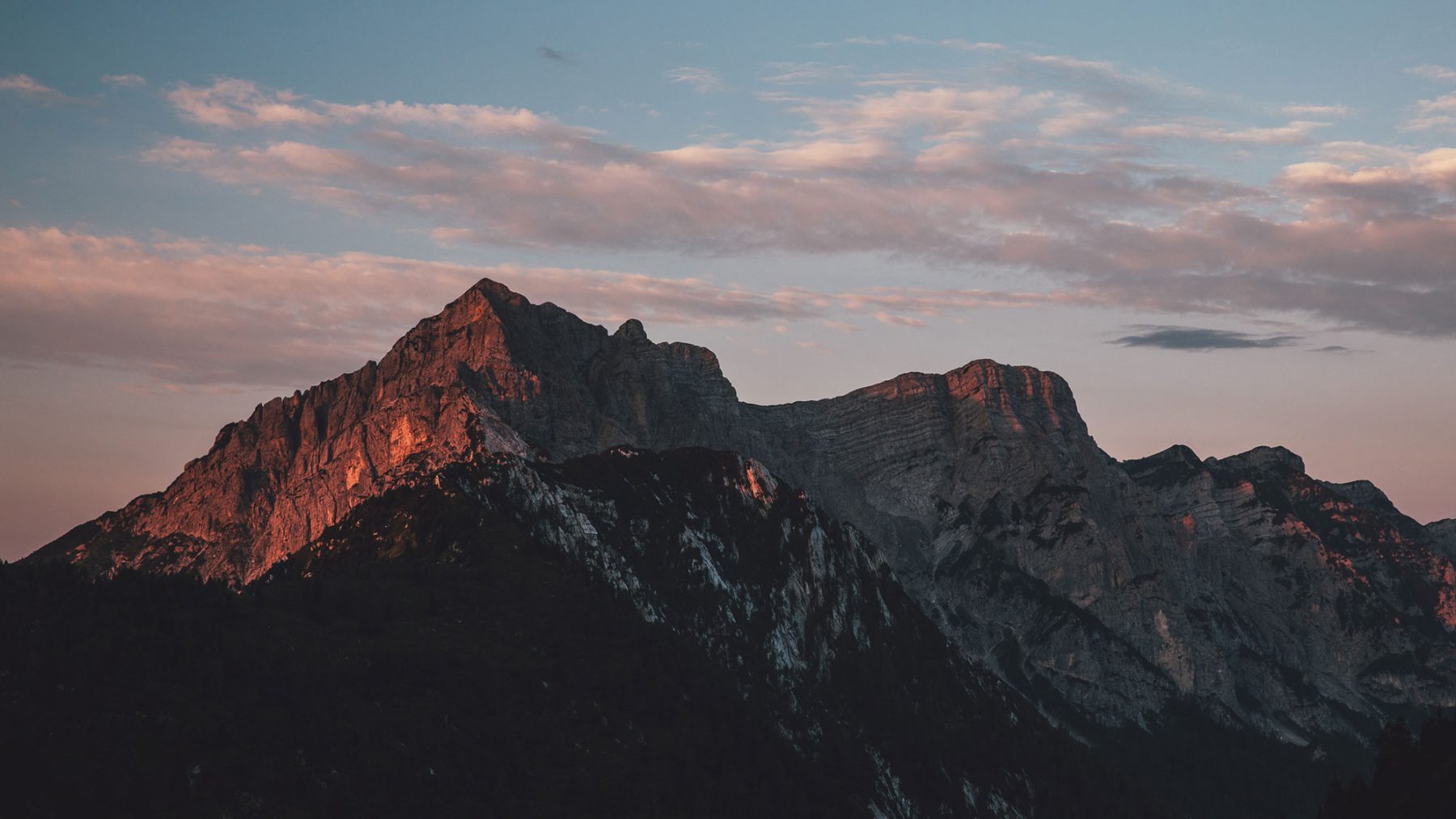
stage 5
Erera Brendol – Val Canzoi – Rifugio Boz
variation Erera Brendol - Rifugio Boz (Mountaineering)It’s possible to avoid the exposed “Slavinaz” trail, to get to the Boz Mountain hut. From Malga Erera, drop down into the Val Canzoi and then climb back up the opposite slope towards the meadows of Malga Avis and the pass of the same name.
An emerald gem set amongst the woods.
The lake, Lago della Stua, can be glimpsed here and there by hikers as they descend from the Piani Eterni. It contrasts with the grassy expanses that give way to dense woodlands. The lake’s emerald waters can be spotted here and there at the end of the valley.
Technical description
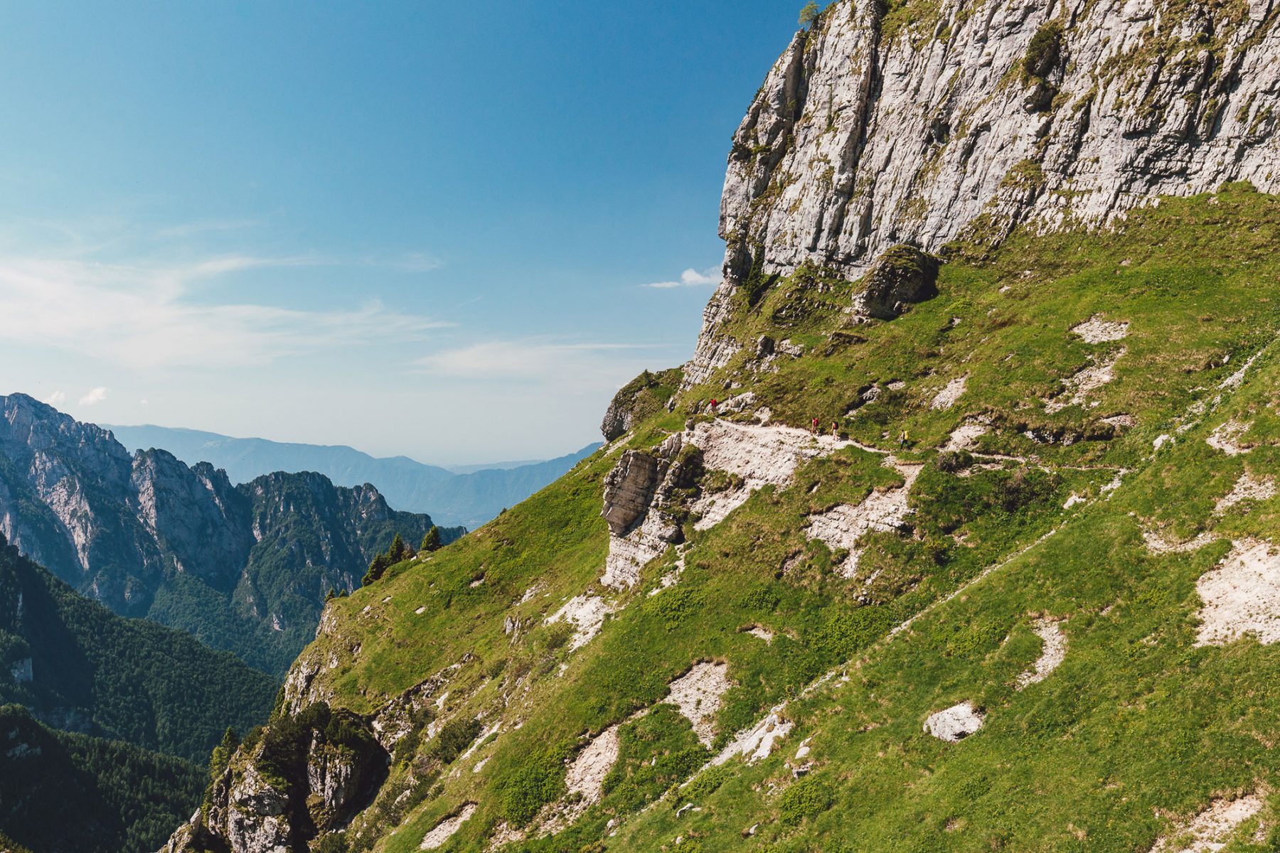
Leave the karstic uplands of the Piani Eterni on CAI trail 802. You may want to opt for the steeper, but shorter route downhill known as Porzil.
At the end of the descent, there is a road that leads back up the valley. Join it but then leave it straight away for the trail on the left, which crosses the Caorame stream and climbs as far as Case Tumitano. From there, take the dirt road and then the trail that climbs up to the right towards Malga Avis (CAI trail 811).
At this point, there is only one way up through the woods, first on a dirt road and then on a trail that’s not too steep.
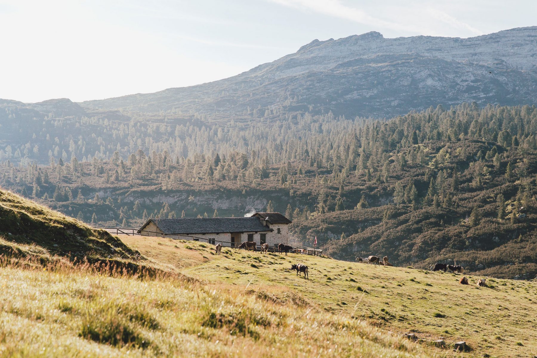
You’ll reach the beautiful hollow at Alvis, where you can rest in the malga or in the bivouac. Hairpin bends will lead you out of the woods and take you to the pass, Passo di Alvis (1880 m). After a short descent you’ll arrive to the Boz mountain hut (1718 m).